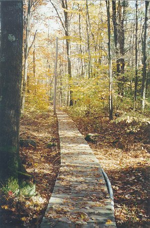
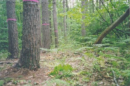
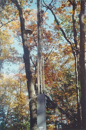
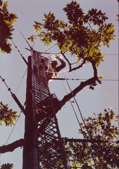
Harvard Forest is comprised of approximately 3000 acres of land in Petersham, Massachusetts that include mixed hardwood and conifer forests, ponds, extensive spruce and maple swamps, and diverse plantations. The Harvard Forest Environmental Measurement Site (EMS) was established in 1989 in the Prospect Hill tract,about 1.6 km east of the Harvard Forest complex on Rt. 32 in Petersham, MA. Maps and other images of the area show the relative location and topographical features. Atmospheric measurements are taken from a 30m tower (Rohn 25G) which extends 6m above the forest canopy and from a walk-up platform. The tower is located at 42.537755 N latitude, 72.171478 W, longitude and 340m (ASL) elevation; the walkup platform is ~130m away (42.536875 N, 72.172602 W). Ecological measurements are conducted in plots stretching out in the tower footprint.
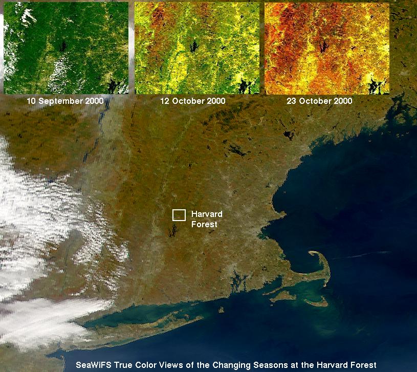
Collected as part of the Eos Land Validation Study, SeaWifs images show the advance of fall colors.